

Key Takeaways
Wireless Coverage
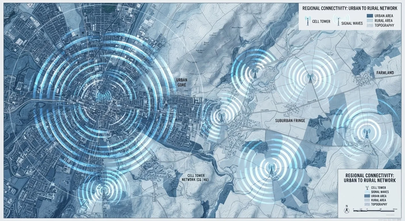
Wireless coverage refers to the geographic areas where a carrier's network can connect your phone to make calls, send texts, and use data. It is determined by the number and placement of cell towers, the radio frequencies those towers use, and the physical environment between you and the nearest tower. Coverage is not uniform - it varies block by block, floor by floor, and even room by room.
Carriers transmit signals across licensed spectrum bands, each with different propagation characteristics. Low-band frequencies travel farther and penetrate buildings more effectively, while high-band frequencies offer faster speeds over shorter distances with poor obstacle penetration.
Why Two People on the Same Carrier Can Have Completely Different Experiences
You sign up for a carrier with a coverage map that shows your neighborhood blanketed in strong signal. But a co-worker on the same plan, two miles away, barely gets two bars. This isn't a glitch - it's how wireless networks actually function.
Coverage is the product of dozens of overlapping variables: where towers are physically located, which radio frequencies they broadcast on, the terrain between you and those towers, and even what's inside the building you're standing in. Carriers make investments in their infrastructure constantly, but coverage is never perfectly uniform.
Understanding the mechanics behind coverage helps you evaluate carrier claims more critically - and sets realistic expectations before you commit to a plan. For a broader look at what your plan actually includes beyond coverage, see what phone plans actually include.
~100,000+
Cell towers operating across the U.S.
The FCC and industry groups estimate well over 100,000 cell sites are deployed nationwide, yet coverage gaps remain significant in rural and mountainous regions.
3
Spectrum band categories shaping your signal
Low-band, mid-band, and high-band (mmWave) frequencies each offer distinct trade-offs between range, building penetration, and speed - and most modern networks use all three.
~30%
Of U.S. land area with limited or no LTE coverage
FCC coverage data and independent analyses consistently show that a substantial portion of U.S. geography - much of it rural - still lacks reliable LTE service from any carrier.
Towers, Spectrum, and the Physics of Signal
Every carrier operates a network of cell towers - physical structures equipped with antennas that broadcast radio signals across licensed frequency bands, commonly called spectrum. The FCC allocates these bands, and carriers acquire them through auctions. The specific bands a carrier holds largely determine what kind of coverage it can deliver.
Spectrum bands fall into three broad categories by frequency:
- Low-band (below 1 GHz): Travels long distances and passes through walls and terrain more easily. Ideal for rural coverage and indoor penetration, but offers slower peak speeds.
- Mid-band (1-6 GHz): A balance of range and speed. This is the workhorse of most 5G deployments and delivers meaningful performance improvements over 4G LTE in populated areas.
- High-band / mmWave (above 24 GHz): Extremely fast but with very limited range - often measured in hundreds of feet. It struggles to penetrate walls and works primarily outdoors in dense urban environments.
A carrier's spectrum portfolio directly shapes the coverage experience it can offer. This is also relevant when evaluating what the 5G icon on your phone actually means, since not all 5G is the same.
Test Before You Commit
Before switching to a new carrier, ask if a short-term or trial SIM option is available - some carriers offer limited test periods. Alternatively, ask neighbors or colleagues in your specific locations about their real-world experience. Coverage maps are a useful starting point, but firsthand signal testing at your home, workplace, and regular commute route is far more reliable.
Terrain, Environment, and the Limits of Coverage Maps
Radio signals don't travel in straight lines through open air - they collide with the physical world. Hills, mountains, dense forests, and even heavy rainfall absorb or deflect signals. Urban canyons created by tall buildings can trap or redirect signals unpredictably. Indoor environments are particularly challenging: concrete walls, steel framing, and certain types of energy-efficient glass all reduce signal strength significantly.
Official coverage maps are built from predictive models that account for tower locations and general terrain data. What they typically don't capture is hyper-local detail - the specific interference pattern in your apartment building, the dead zone behind the hill on your commute, or how your signal fluctuates across floors of an office tower. Treating a coverage map as a guarantee is a common mistake.
The most reliable way to evaluate coverage for your specific situation is to test it directly: use a temporary SIM, ask someone on that carrier in your area, or consult crowd-sourced signal data. Also consider that your phone itself must support the carrier's spectrum bands to receive the full signal - see what to verify before switching carriers with your existing phone.
Network Priority, MVNOs, and What 'Coverage' Doesn't Always Mean
Coverage and quality of service are not the same thing. A location can show full bars on a coverage map but deliver slow, congested speeds during peak hours. This is especially relevant for customers on budget plans or those using MVNOs - smaller carriers that lease access to major networks rather than owning their own towers.
MVNOs technically operate on the same physical towers as their host carriers, which means their geographic coverage footprint is often identical. However, most major carriers contractually deprioritize MVNO traffic during periods of network congestion. In practice, that means an MVNO customer in a crowded stadium or during a busy urban commute may experience noticeably slower speeds than a postpaid customer on the host carrier - even though both have 'coverage.' Understanding how MVNOs work is critical context when comparing plans across price tiers.
When comparing plans side by side, account for network priority alongside raw coverage claims. A structured framework for plan comparison can help you evaluate factors that marketing language tends to obscure.